top of page

JM Buchet Photography


New-Zealand
South Island
Landscapes & Wide Open Spaces

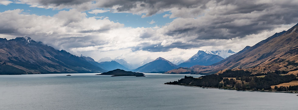


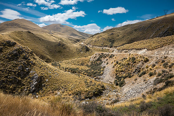


Some destinations can only be reached after driving fifty kilometres or so along unpaved roads, reinforcing that genuine feeling of having reached the end of the world!

The South Island is home to numerous lakes and magnificent rivers. Most are natural, but some lakes were created or enlarged as part of a vast hydroelectric scheme designed to harness the country’s abundant water resources. Linked by huge canals, the lakes and dams form an interconnected network, allowing the same water to pass through several power stations and generate electricity more than once.


Streams rushing down the many valleys give rise to braided rivers wherever the valleys widen. Their countless channels create unexpected patterns, best revealed when viewed from above!


Scattered along Koekohe Beach, the Moeraki Boulders are striking for their almost perfectly spherical shape. These remarkable concretions formed slowly within ancient marine sediments tens of millions of years ago. As the cliffs gradually erode, the boulders are released and exposed on the beach, some reaching nearly two metres in diameter!


Although I’m not a great fan of rain, which often makes photography more challenging, at Doubtful Sound it is an essential part of the atmosphere. Without it, the place can seem dark, almost lifeless. But when it rains, quite the opposite happens: nature comes alive, the landscapes dance with the drifting mist, and the rock faces become streaked with countless streams of water. A thousand waterfalls suddenly appear, brightening cliffs that would otherwise seem so dark!


Nature is everywhere on the South Island, wherever you go. Depending on the region, however, the vegetation can vary considerably: lush and almost tropical in some places, alpine and drier in others, extending to the pristine native forests of the Catlins, at the very south of the island. The tree ferns are particularly impressive!


At the eastern edge of the Catlins, the Nugget Point Lighthouse overlooks the ocean from a spectacular headland. Below, a multitude of rocky islets — the famous “nuggets” — dot the sea and gave the site its name. And just over 4,800 km due south lies Antarctica…


At Burkes Pass, on State Highway 8 in the Mackenzie region, Three Creeks is certainly an unusual place! With its retro charm, objects from another era and colourful surroundings, this village and shop makes for a picturesque and unexpected stop.


At Karamea, the feeling of being at the end of the world takes on its full meaning: a small, isolated community, almost deserted beaches stretching as far as the eye can see, and a wonderfully peaceful atmosphere… only the sound of the wind reminds us that we are indeed on the West Coast! Further still, Oparara reveals some of its hidden treasures in the heart of an unspoilt natural environment. A place where you cannot help but fall under the spell of what nature has created.

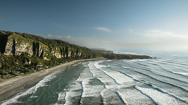


At Punakaiki, erosion has sculpted the remarkable Pancake Rocks from limestone, their distinctive layers resembling stacks of pancakes. Constantly battered by the Tasman Sea, these rock formations create a landscape as strange as it is spectacular. The swell surges into cavities in the rocks and, when conditions are right, water shoots up through the famous “blowholes”. During our visit, the phenomenon was fairly subdued, but still impressive enough to give us a glimpse of its full power.


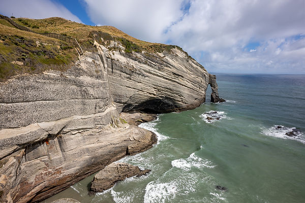

As we travel north, the landscapes change and the terrain becomes gentler, without losing any of its beauty.

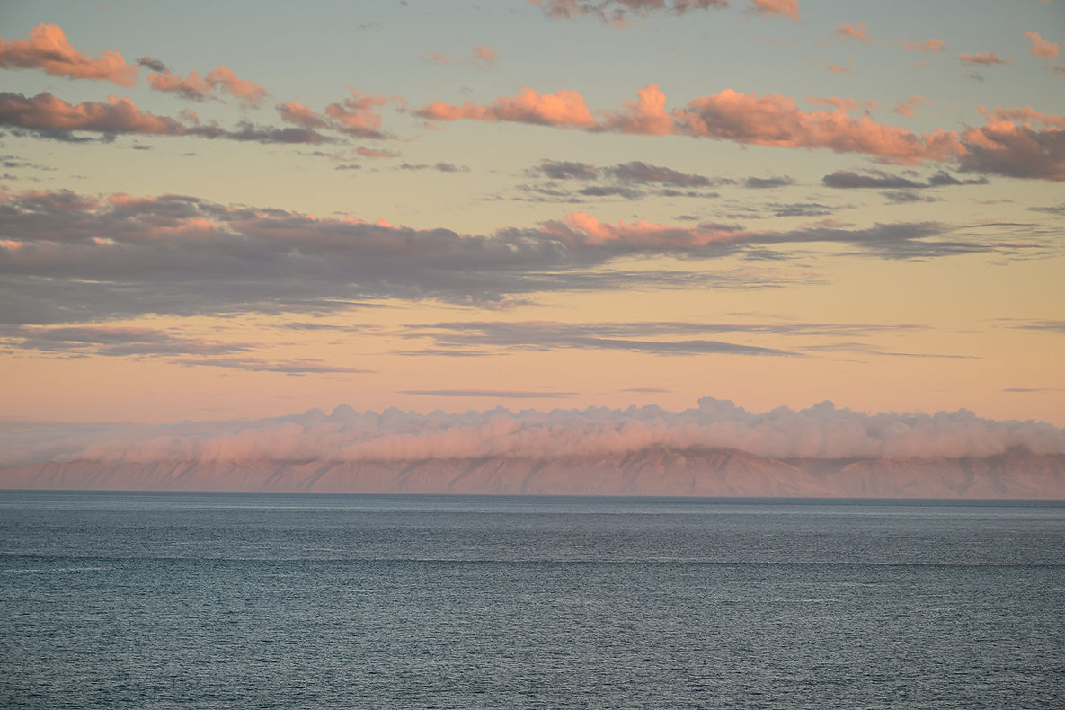
In fine weather, the crossing to the North Island offers a magnificent journey through the Marlborough Sounds before reaching the open sea and Cook Strait, renowned for its strong currents. And when the ferry leaves the South Island late in the day, you may even be treated to a beautiful sunset, bathing the landscape in lovely colours!
bottom of page